
It’s therefore no surprise that difficult questions are being asked about IT costs.
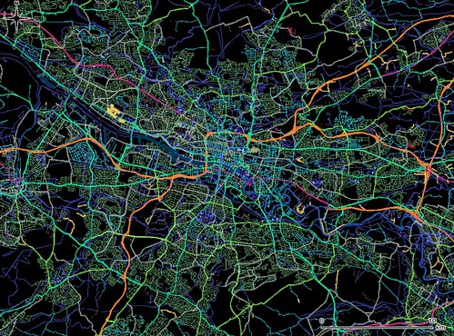 |
| Glasgow streets in QGIS. CC Image courtesy of marcoflight on Flickr, Map data (c) OpenStreetMap contributors, CC-BY-SA. |
• restrictive licensing
• bundled options (with add-ons for 3D Analyst etc)
• active vendor support/passive customer.
Open Source, by contrast, offers:
• open licensing
• unbundled packages
• active customer/passive vendor support – which creates the need for system support provided either ‘in house’ or via a third party.
Open Source GIS is probably the most disruptive change within the GIS software sector in 25 years.
For companies contemplating whether Open Source GIS would deliver benefits, there are several key factors to consider:
• cost
• flexibility
• lack of vendor lock-in
• open data formats
• opportunity for customisation
• implementation time
• interaction with the development community.
To date, the GIS market has been dominated by large companies such as ESRI, CADCORP and MapInfo. Smaller consultancies have been hampered by the high price of GIS products and have therefore scaled down their GIS investment or limited their GIS implementation strategies. This has led to lack of competition and inefficiency.
Switching to Open Source GIS and web services offers considerable cost savings to large companies. These include reduced license fees, increased product flexibility and low cost intranet implementation. What Open Source GIS offers smaller consultancies is a low or zero cost entry point to GIS implementation.
This means that they will be able to compete with the larger companies, while their greater flexibility will allow them to develop and deliver specialist bespoke services to clients.
So what’s the current state of Open Source GIS and how does it fit with GIS usage?
 |
| Are you loving the benefits of Open Source? CC Image courtesy of marcoflight on Flickr, Map data (c) OpenStreetMap contributors, CC-BY-SA. |
At FIND Maps we use QGIS as well as ArcGIS, CadCorp and MapInfo. Many independent studies have ranked the core functionality of QGIS above other commercial packages and it’s our clear favourite. The package is totally license free and consistent with ArcGIS in terms of its ability to both manipulate and perform spatial data analysis, and interface with geodatabases. QGIS is simple to understand and it comes with a range of plugins that expand its efficacy.
We've recently implemented the Globe plugin which gives 3D capability. This allows detailed analysis of custom DEM data. In addition, QGIS can interface with Open Source 3D modelling packages such as Blender to perform complex visualisations and scenario testing, or with Marxan’s QGIS version of its habitat modelling tool.
Any organisation considering a move to the Open Source GIS environment will want to know the level of support being offered. FIND Mapping has extensive expertise in QGIS and other Open Source technologies and offers a subscription support service.
FIND also offers training to ensure that clients gain maximum benefit from their investment. The ‘First Look’ afternoon seminar provides an overview of the software and costs just £45 per head. If a deeper insight is required or we identify a need for more specific and detailed training, we can offer a one day seminar at a cost of £100 per head. The seminars are held just a few minutes from Waterloo Station in central London. Effective training is often a relatively small investment that has the potential to deliver huge savings.
Please contact support@findmaps.co.uk if you are interested in any of the above training.